Geography
Location & Size of Mombasa County
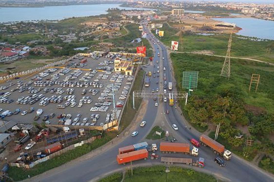
Mombasa is a coastal city located in the South Eastern part of the Coastal region of Kenya, which is 200 nautical miles inside the Indian Ocean. The County is the home of second largest city in Kenya and borders Kilifi County to the North, Kwale County to the South West and the Indian Ocean to the East. The city serves as the headquarters of Mombasa County. The main industries that provide employment opportunities to the people of Mombasa include manufacture and processing, the Port of Mombasa, Kenya Ferry Services, Container Freight Terminals and expansive hotels.
Mombasa city being an ancient town, hosts several tourist attractions and world heritage sites. Of significant mention is the historic Fort Jesus Museum which is a UNESCO World Heritage site.
Mombasa has a cosmopolitan population, with the Swahili people and Mijikenda predominant. Other communities include the Akamba and Taita Bantus as well as a significant population of Luo, Luhya, Gusii and Kikuyu. The major religions practiced in the city are Christianity and Islam. Over the centuries, many immigrants and traders have settled in Mombasa, particularly from the Middle East and South Asia. Mombasa County is an island connected to the mainland by bridges and ferries. Consequently, the county provides ferry services to serve its population which links the Mombasa Island to Likoni and subsequently to Kwale, and Tanzania through the Lunga-Lunga Border.
The county has an important Standard-Gauge Railway (SGR), country’s largest infrastructure project since independence that connects city of Mombasa with Nairobi City. In June 2017, the SGR’s first fare-paying passengers boarded the “Madaraka Express” which was celebrated across the country. The SGR services serve an average of 1 million passengers and 10 million tons for cargo per year. The County has one international airport, the Moi International which is the second largest in Kenya and is used by both domestic and international flights. The airport is essential in the promotion of tourism and provides investment opportunities in the coastal region.
Position & Size
The County covers an area of 229.9 Km2 excluding 65 Km2 of water mass which is 200 nautical miles inside the Indian Ocean. It borders Kilifi County to the North, Kwale County to the South West and the Indian Ocean to the East. The County lies between latitudes 30 56’ and 40 10’ South of the Equator and between longitudes 390 34’and 390 46’east of Greenwich Meridian.
The County also enjoys proximity to an expansive water mass as it borders the Exclusive Economic Zone of the Indian Ocean to the East.
Location
The County also enjoys proximity to a very expansive water mass, as it borders the exclusive ecological zone of the Indian Ocean to the East
Climate
The County lies within the coastal strip in the hot tropical region where the climate is influenced by monsoon winds.
Rainfall
The rainfall pattern is characterized by two distinct long and short seasons corresponding to changes in the monsoon winds. The long rains occur in April – June with an average of 1,040 mm and correspond to the South Eastern Monsoon winds. The short rains start towards the end of October lasting until December and correspond to the comparatively dry North Eastern Monsoons, averaging 240mm. The annual average rainfall for the county is 640mm
Temperature
The annual mean temperature in the county is 27.90C with a minimum of 22.70C and a maximum of 33.10C. The hottest month is February with a maximum average of 33.10C while the lowest temperature is in July with a minimum average of 22.70C. Average humidity at noon is about 65 per cent